Introduction
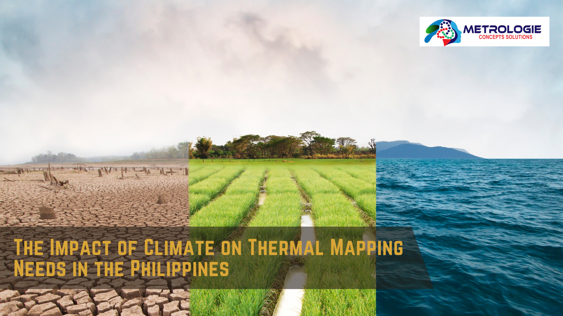
The Philippines, a Southeast Asian archipelago, is known for its rich biodiversity, tropical climate, and frequent natural disasters. With over 7,000 islands, the country experiences a variety of climatic conditions, from intense heat to heavy rainfall, all of which have significant implications on infrastructure, agriculture, urban planning, and environmental management. One of the emerging needs in these areas is thermal mapping—a crucial tool for understanding and managing the effects of climate on various sectors.
Thermal mapping involves the collection and analysis of temperature data across specific geographic areas. It’s used in applications ranging from agriculture to urban planning and disaster management. In the Philippines, the need for thermal mapping is driven by the country’s unique climatic conditions and the challenges posed by climate change. This article explores the impact of the Philippines’ climate on thermal mapping needs and how this technology can be utilized to address some of the pressing issues the country faces.
Understanding the Climate of the Philippines
The Tropical Climate
The Philippines has a tropical maritime climate, characterized by high temperatures, high humidity, and abundant rainfall. The climate is typically divided into two main seasons: the dry season, which runs from November to April, and the wet season, from May to October. The country’s proximity to the equator means that temperatures remain fairly constant throughout the year, usually ranging between 25°C to 32°C.
Regional Climate Variations
Despite its relatively small land area, the Philippines experiences considerable regional variations in climate due to its archipelagic nature and varied topography. For instance:
- Luzon: The northern part of the country, including Manila, tends to be cooler during the dry season and receives heavy rainfall during the monsoon season.
- Visayas: This central region experiences more consistent rainfall throughout the year, with slightly lower temperature variations.
- Mindanao: The southernmost region, generally warmer, with less distinct wet and dry seasons compared to the north.
These regional differences necessitate localized approaches to thermal mapping, as each area may require different strategies to manage temperature-related challenges.
The Impact of Climate Change
Climate change is intensifying the weather patterns in the Philippines. The country is experiencing stronger typhoons, rising sea levels, and increasing temperatures. These changes have exacerbated the need for precise thermal mapping to better understand and mitigate the effects of these extreme weather events.
The Role of Thermal Mapping in the Philippines
Agriculture
Agriculture is a vital sector in the Philippines, employing about 24% of the workforce and contributing to 10% of the country’s GDP. However, it is also one of the most climate-sensitive sectors. Temperature fluctuations, particularly extreme heat, can severely impact crop yields, livestock health, and overall agricultural productivity.
Crop Management
Thermal mapping helps in identifying temperature variations across different agricultural zones. By understanding these variations, farmers can make informed decisions about crop selection, planting schedules, and irrigation needs. For instance, rice, the staple food of the Philippines, is highly sensitive to temperature changes. Thermal maps can help identify areas at risk of heat stress, enabling farmers to take proactive measures to protect their crops.
Livestock Management
Similarly, livestock is affected by temperature extremes. Heat stress can lead to decreased productivity, higher mortality rates, and increased susceptibility to diseases. Thermal mapping can be used to monitor and manage the microclimates within livestock farms, ensuring that animals are kept in environments that minimize heat stress.
Urban Planning and Development
The rapid urbanization of the Philippines has led to the growth of several megacities, including Metro Manila, Cebu, and Davao. These urban areas are increasingly facing the “urban heat island” effect, where temperatures in the city are significantly higher than in surrounding rural areas due to human activities, infrastructure, and reduced vegetation.
Mitigating Urban Heat Islands
Thermal mapping is crucial in urban planning to identify and mitigate urban heat islands. By mapping temperature variations across a city, planners can identify hotspots and implement strategies such as increasing green spaces, improving building designs to enhance ventilation, and using reflective materials in construction.
Disaster Management
The Philippines is highly prone to natural disasters, including typhoons, floods, and volcanic eruptions. Thermal mapping plays a vital role in disaster management by providing real-time data on temperature changes, which can indicate the onset of disasters such as forest fires or volcanic activity. Additionally, thermal maps can help in post-disaster assessments by identifying areas affected by heat-related issues, such as infrastructure damage or increased disease risk.
Environmental Conservation
The Philippines is home to some of the world’s most diverse ecosystems, but these are under threat from climate change, deforestation, and urbanization. Thermal mapping can be an essential tool in environmental conservation efforts.
Monitoring Ecosystems
Thermal mapping allows for the monitoring of temperature changes in critical ecosystems, such as coral reefs, mangroves, and forests. By tracking these changes, conservationists can identify areas at risk and take measures to protect them. For example, rising sea temperatures can lead to coral bleaching, a phenomenon that thermal mapping can help predict and manage.
Climate Change Mitigation
Thermal mapping also contributes to broader climate change mitigation efforts by providing data that can inform policies and practices aimed at reducing greenhouse gas emissions. For instance, thermal maps can identify areas with high energy consumption due to cooling needs, enabling the implementation of energy efficiency measures.
Case Studies: Thermal Mapping in Action
Agricultural Success in Central Luzon
In Central Luzon, one of the Philippines’ primary rice-producing regions, thermal mapping has been used to optimize irrigation practices. By analyzing temperature data, farmers have been able to adjust irrigation schedules to better match the needs of their crops, resulting in increased yields and reduced water usage.
Urban Planning in Metro Manila
Metro Manila, one of the most densely populated urban areas in the world, has been using thermal mapping to address the urban heat island effect. The city has implemented green roofing initiatives, expanded parks, and introduced more reflective building materials, all informed by thermal map data.
Disaster Management in Mindanao
In Mindanao, thermal mapping has been crucial in disaster management, particularly in monitoring volcanic activity. The region, which includes the active volcano Mount Apo, has used thermal mapping to track temperature changes that could indicate potential eruptions, allowing for timely evacuations and disaster preparedness.
The Future of Thermal Mapping in the Philippines
Advances in Technology
The future of thermal mapping in the Philippines will be shaped by advances in technology. The increasing availability of high-resolution satellite imagery, drones, and remote sensing technologies will enable more precise and detailed thermal maps. These technologies will allow for real-time monitoring and analysis, which is particularly important in a country as geographically and climatically diverse as the Philippines.
Integration with Other Data Sources
Thermal mapping will also increasingly be integrated with other data sources, such as meteorological data, land use data, and socio-economic data. This integration will provide a more comprehensive understanding of how climate impacts different sectors and regions. For example, combining thermal maps with land use data can help identify areas where urban development is exacerbating temperature increases, leading to more informed urban planning decisions.
Policy Implications
The growing importance of thermal mapping in the Philippines will have significant policy implications. There will be a need for policies that promote the use of thermal mapping in various sectors, from agriculture to urban planning. Additionally, there will be a need for investment in the technologies and infrastructure required to support thermal mapping, such as satellite systems, data processing centers, and training programs for professionals in the field.
Challenges and Considerations
Data Accessibility and Quality
One of the main challenges in thermal mapping is ensuring data accessibility and quality. In a country like the Philippines, where resources can be limited, ensuring that accurate and up-to-date thermal mapping data is available to all stakeholders is crucial. There is also a need to standardize data collection methods to ensure consistency and reliability.
Capacity Building
Another challenge is building the capacity of local governments, businesses, and communities to effectively use thermal mapping data. This includes training in data interpretation, the use of mapping tools, and the integration of thermal mapping into decision-making processes.
Ethical Considerations
As with any technology, there are ethical considerations associated with thermal mapping. For instance, there are concerns about privacy, particularly when using thermal imaging in densely populated areas. It’s essential to establish clear guidelines on the use of thermal mapping to ensure that it is used responsibly and ethically.
Conclusion
The impact of climate on thermal mapping needs in the Philippines is profound and multifaceted. As the country continues to face the challenges of climate change, urbanization, and environmental degradation, thermal mapping will become an increasingly essential tool. From optimizing agricultural practices to mitigating urban heat islands and managing disasters, thermal mapping offers significant benefits across various sectors.
Introduction
The Philippines, a Southeast Asian archipelago, is known for its rich biodiversity, tropical climate, and frequent natural disasters. With over 7,000 islands, the country experiences a variety of climatic conditions, from intense heat to heavy rainfall, all of which have significant implications on infrastructure, agriculture, urban planning, and environmental management. One of the emerging needs in these areas is thermal mapping—a crucial tool for understanding and managing the effects of climate on various sectors.
Thermal mapping involves the collection and analysis of temperature data across specific geographic areas. It’s used in applications ranging from agriculture to urban planning and disaster management. In the Philippines, the need for thermal mapping is driven by the country’s unique climatic conditions and the challenges posed by climate change. This article explores the impact of the Philippines’ climate on thermal mapping needs and how this technology can be utilized to address some of the pressing issues the country faces.
Understanding the Climate of the Philippines
The Tropical Climate
The Philippines has a tropical maritime climate, characterized by high temperatures, high humidity, and abundant rainfall. The climate is typically divided into two main seasons: the dry season, which runs from November to April, and the wet season, from May to October. The country’s proximity to the equator means that temperatures remain fairly constant throughout the year, usually ranging between 25°C to 32°C.
Regional Climate Variations
Despite its relatively small land area, the Philippines experiences considerable regional variations in climate due to its archipelagic nature and varied topography. For instance:
- Luzon: The northern part of the country, including Manila, tends to be cooler during the dry season and receives heavy rainfall during the monsoon season.
- Visayas: This central region experiences more consistent rainfall throughout the year, with slightly lower temperature variations.
- Mindanao: The southernmost region, generally warmer, with less distinct wet and dry seasons compared to the north.
These regional differences necessitate localized approaches to thermal mapping, as each area may require different strategies to manage temperature-related challenges.
The Impact of Climate Change
Climate change is intensifying the weather patterns in the Philippines. The country is experiencing stronger typhoons, rising sea levels, and increasing temperatures. These changes have exacerbated the need for precise thermal mapping to better understand and mitigate the effects of these extreme weather events.
The Role of Thermal Mapping in the Philippines
Agriculture
Agriculture is a vital sector in the Philippines, employing about 24% of the workforce and contributing to 10% of the country’s GDP. However, it is also one of the most climate-sensitive sectors. Temperature fluctuations, particularly extreme heat, can severely impact crop yields, livestock health, and overall agricultural productivity.
Crop Management
Thermal mapping helps in identifying temperature variations across different agricultural zones. By understanding these variations, farmers can make informed decisions about crop selection, planting schedules, and irrigation needs. For instance, rice, the staple food of the Philippines, is highly sensitive to temperature changes. Thermal maps can help identify areas at risk of heat stress, enabling farmers to take proactive measures to protect their crops.
Livestock Management
Similarly, livestock is affected by temperature extremes. Heat stress can lead to decreased productivity, higher mortality rates, and increased susceptibility to diseases. Thermal mapping can be used to monitor and manage the microclimates within livestock farms, ensuring that animals are kept in environments that minimize heat stress.
Urban Planning and Development
The rapid urbanization of the Philippines has led to the growth of several megacities, including Metro Manila, Cebu, and Davao. These urban areas are increasingly facing the “urban heat island” effect, where temperatures in the city are significantly higher than in surrounding rural areas due to human activities, infrastructure, and reduced vegetation.
Mitigating Urban Heat Islands
Thermal mapping is crucial in urban planning to identify and mitigate urban heat islands. By mapping temperature variations across a city, planners can identify hotspots and implement strategies such as increasing green spaces, improving building designs to enhance ventilation, and using reflective materials in construction.
Disaster Management
The Philippines is highly prone to natural disasters, including typhoons, floods, and volcanic eruptions. Thermal mapping plays a vital role in disaster management by providing real-time data on temperature changes, which can indicate the onset of disasters such as forest fires or volcanic activity. Additionally, thermal maps can help in post-disaster assessments by identifying areas affected by heat-related issues, such as infrastructure damage or increased disease risk.
Environmental Conservation
The Philippines is home to some of the world’s most diverse ecosystems, but these are under threat from climate change, deforestation, and urbanization. Thermal mapping can be an essential tool in environmental conservation efforts.
Monitoring Ecosystems
Thermal mapping allows for the monitoring of temperature changes in critical ecosystems, such as coral reefs, mangroves, and forests. By tracking these changes, conservationists can identify areas at risk and take measures to protect them. For example, rising sea temperatures can lead to coral bleaching, a phenomenon that thermal mapping can help predict and manage.
Climate Change Mitigation
Thermal mapping also contributes to broader climate change mitigation efforts by providing data that can inform policies and practices aimed at reducing greenhouse gas emissions. For instance, thermal maps can identify areas with high energy consumption due to cooling needs, enabling the implementation of energy efficiency measures.
Case Studies: Thermal Mapping in Action
Agricultural Success in Central Luzon
In Central Luzon, one of the Philippines’ primary rice-producing regions, thermal mapping has been used to optimize irrigation practices. By analyzing temperature data, farmers have been able to adjust irrigation schedules to better match the needs of their crops, resulting in increased yields and reduced water usage.
Urban Planning in Metro Manila
Metro Manila, one of the most densely populated urban areas in the world, has been using thermal mapping to address the urban heat island effect. The city has implemented green roofing initiatives, expanded parks, and introduced more reflective building materials, all informed by thermal map data.
Disaster Management in Mindanao
In Mindanao, thermal mapping has been crucial in disaster management, particularly in monitoring volcanic activity. The region, which includes the active volcano Mount Apo, has used thermal mapping to track temperature changes that could indicate potential eruptions, allowing for timely evacuations and disaster preparedness.
The Future of Thermal Mapping in the Philippines
Advances in Technology
The future of thermal mapping in the Philippines will be shaped by advances in technology. The increasing availability of high-resolution satellite imagery, drones, and remote sensing technologies will enable more precise and detailed thermal maps. These technologies will allow for real-time monitoring and analysis, which is particularly important in a country as geographically and climatically diverse as the Philippines.
Integration with Other Data Sources
Thermal mapping will also increasingly be integrated with other data sources, such as meteorological data, land use data, and socio-economic data. This integration will provide a more comprehensive understanding of how climate impacts different sectors and regions. For example, combining thermal maps with land use data can help identify areas where urban development is exacerbating temperature increases, leading to more informed urban planning decisions.
Policy Implications
The growing importance of thermal mapping in the Philippines will have significant policy implications. There will be a need for policies that promote the use of thermal mapping in various sectors, from agriculture to urban planning. Additionally, there will be a need for investment in the technologies and infrastructure required to support thermal mapping, such as satellite systems, data processing centers, and training programs for professionals in the field.
Challenges and Considerations
Data Accessibility and Quality
One of the main challenges in thermal mapping is ensuring data accessibility and quality. In a country like the Philippines, where resources can be limited, ensuring that accurate and up-to-date thermal mapping data is available to all stakeholders is crucial. There is also a need to standardize data collection methods to ensure consistency and reliability.
Capacity Building
Another challenge is building the capacity of local governments, businesses, and communities to effectively use thermal mapping data. This includes training in data interpretation, the use of mapping tools, and the integration of thermal mapping into decision-making processes.
Ethical Considerations
As with any technology, there are ethical considerations associated with thermal mapping. For instance, there are concerns about privacy, particularly when using thermal imaging in densely populated areas. It’s essential to establish clear guidelines on the use of thermal mapping to ensure that it is used responsibly and ethically.
Conclusion
The impact of climate on thermal mapping needs in the Philippines is profound and multifaceted. As the country continues to face the challenges of climate change, urbanization, and environmental degradation, thermal mapping will become an increasingly essential tool. From optimizing agricultural practices to mitigating urban heat islands and managing disasters, thermal mapping offers significant benefits across various sectors.
However, to fully realize these benefits, there must be a concerted effort to overcome the challenges associated with data accessibility, capacity building, and ethical considerations. With the right policies, investments, and technological advancements, thermal mapping can play a critical role in helping the Philippines navigate its climate challenges and build a more resilient and sustainable future.